What happened
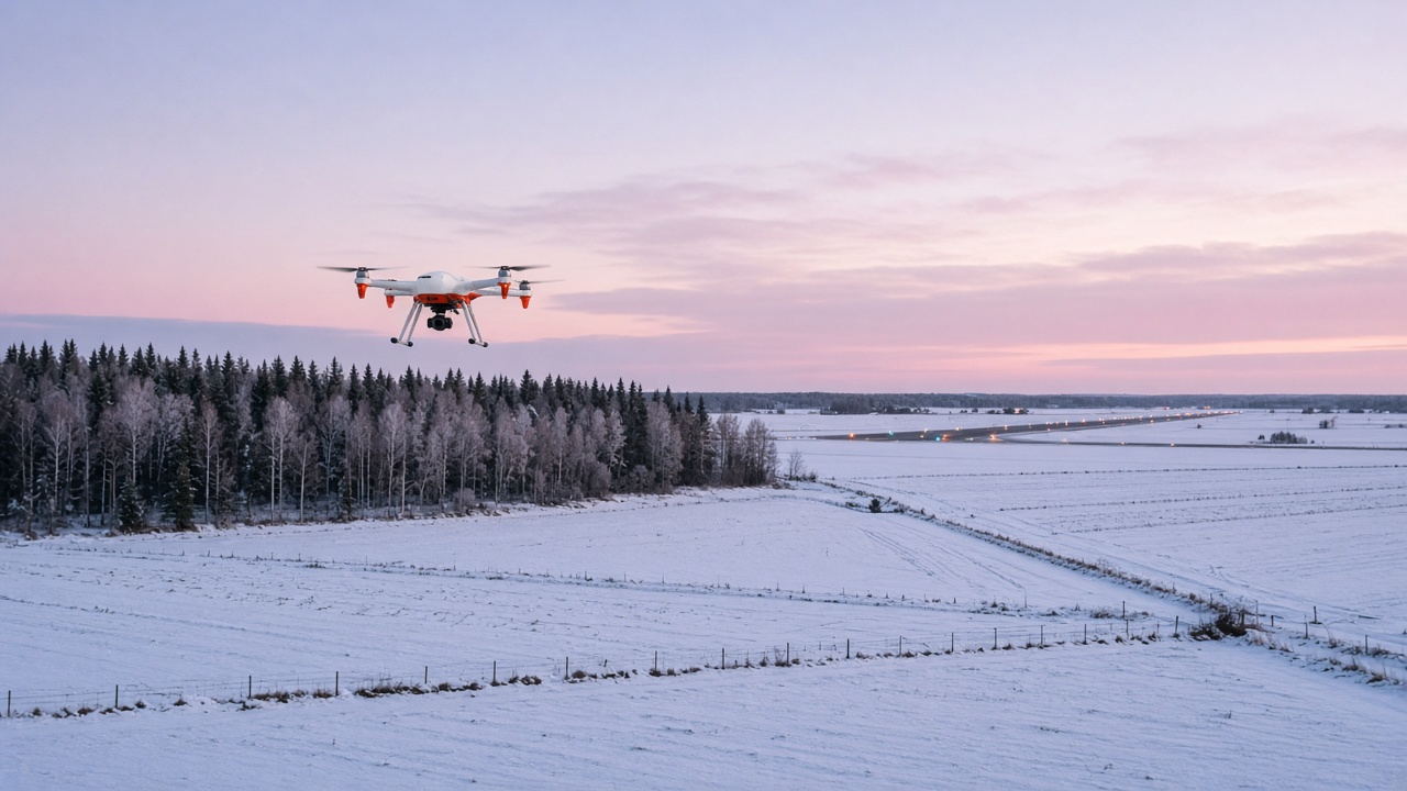
Finland's Transport and Communications Agency, Traficom, has approved a temporary danger area for drone flights around Seinäjoki Airport in western Finland. The area, called EFD555 WEST AVIA UAS, was approved on 13 October 2026 following an application by the Rengonharju Foundation. It will be valid from 3 November 2026 to 14 April 2027.
On the same day, Traficom also set up a permissive UAS geographical zone, West Avia UAS, in Seinäjoki for research and testing. On 30 September, it had set up a similar zone, Pallas UAS, in the Pallastunturi area of Lapland for the Finnish Meteorological Institute.
What the area is for
The danger area is designed for beyond visual line of sight (BVLOS) drone flights, where the drone flies further than the remote pilot can see. That allows longer routes and larger operating areas than ordinary drone flying.
West Avia says the area could be used for mapping and inspection flights, agriculture and forestry, cargo delivery trials, and testing drone control links, navigation and performance. It also points to the chance to test how drones and their systems cope with a Finnish winter.
How big it is and how it works
According to West Avia:
- EFD555 is made up of six sub-areas that can be activated separately, depending on the planned flights
- the area extends well beyond the immediate surroundings of Seinäjoki Airport
- in five of the sub-areas, the maximum BVLOS altitude is 1,500 feet (about 457 metres) above mean sea level, and in the sixth it is 2,000 feet (about 610 metres)
The area won't be active all the time. It will be activated for planned flights in coordination with Finland's Airspace Management Cell (AMC). Operators have to give advance notice, the activation will be communicated to other airspace users, and flights can only start once the AMC has given permission.
What this means if you're training
If you fly in western Finland this winter, this is an area to know about. Danger areas are part of the airspace picture you check before every flight, alongside NOTAMs and the AIP. Because EFD555 only becomes active when drone flights are planned, it may be there one day and not the next. Your pre-flight briefing is where you find out whether it's active.
It's also a useful reminder that airspace is becoming more shared. Drones, gliders, microlights and training aircraft all use the same low-level airspace, and more BVLOS testing is likely in the years ahead. Good habits from your first lessons, such as thorough flight planning, a careful look at the charts and a proper lookout, are what keep everyone apart.
If you're unsure how a danger area affects your route, ask your instructor to go through it with you during flight planning.
Sources
- West Avia, "West Avia to establish an extensive airspace area for beyond visual line of sight drone operations", 14 October 2026: https://westavia.fi/en/west-avia-to-establish-an-extensive-airspace-area-for-beyond-visual-line-of-sight-drone-operations/
- Traficom, "Yleistiedoksianto Liikenne- ja viestintäviraston päätöksestä perustaa salliva UAS-ilmatilavyöhyke West Avia UAS", 13 October 2026: https://traficom.fi/fi/uutiset/yleistiedoksianto-liikenne-ja-viestintaviraston-paatoksesta-perustaa-salliva-uas-ilmatilavyohyke-west-avia-uas
- Traficom, "Yleistiedoksianto Liikenne- ja viestintäviraston päätöksestä perustaa salliva UAS-ilmatilavyöhyke Pallas UAS", 1 October 2026: https://traficom.fi/fi/uutiset/yleistiedoksianto-liikenne-ja-viestintaviraston-paatoksesta-perustaa-salliva-uas-ilmatilavyohyke-pallas-uas